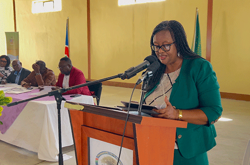
After holding consultations with communities and traditional authorities, the Kavango West leadership has opted to push for a maximum of 12 constituencies for the region.
Kavango West, Namibia’s newest region, currently has eight constituencies. It was established on 8 August 2013 and covers an area of 24 591 square kilometres with a population of 123 266.
“In the past 10 years of the region’s existence, the government has managed to bring services to the region, and all offices, ministries and agencies are operating from Nkurenkuru town,’’ said Kavango West governor Sirkka Ausiku during the region’s recent presentation to the Delimitation and Demarcation Committee.
“However, the region is still highly rural, with only 8% of the people, against 92% residing in urban areas like Nkurenkuru town and Katwitwi settlement. According to the Namibia Statistics Agency, regional unemployment stands at 33%, while among the youth it is 46.8%. The poverty rate stands at 27.9%, while multi-dimensional poverty stands at 79.6%,’’ she said.
Ausiku said development in the young region is hampered by challenges such as poor road infrastructure, with the region still dominated by sandy roads with no feeder roads to connect constituencies and villages.
For instance, in constituencies like Kapako, there is only a single road.
She also mentioned challenges like inadequate water and lack of rural electrification infrastructure, poor mobile communication networks and inadequate educational and health facilities, among others.
“The slow development in the region warrants re-demarcation of its boundaries to speed up development, and to bring services closer to communities in remote villages to alleviate poverty,’’ she said.
The region’s constituencies are Nkurenkuru, Ncuncuni, Kapako, Musese, Ncamagoro, Tondoro, Mpungu and Mankumpi with more than 400 villages.
“Nkurenkuru is the capital and only local authority in the region, with a population of approximately 15 000 residents,’’ said the regional council’s director of planning, Egidius Nambara.
The region also has a single settlement, Katwitwi.
Nambara said the leadership believes the region’s population warrants their demands for more constituencies, which will also improve their development budget allocation from the central government, which is always inadequate.
Proposed changes
According to their proposal, Mpungu constituency should be divided into two (Mpungu Vlei and Katwitwi): surrender Sakakodi and Likorerera to Tondoro; surrender Yinsu North, Nyege North, Kaakuwa North and Katope Kovanyemba East to Nkurenkuru constituency.
As for the Nkurenkuru and Musese constituencies, no proposed changes have been made, with a proposal to divide Tondoro into Tondoro and Mbome constituencies, while it surrenders Mangetti to Mankumpi and re-align boundaries.
The proposal is that Kapako be divided into Kapako, Bunya and Elizabeth Nepemba constituencies.
The leadership proposed that Ncuncuni constituency surrenders Mile 20, Kaguni, Mile 10 and part of Masivi villages to the proposed Elizabeth Nepemba and relinquish Sitenda village to Ncamagoro constituency.
“I propose that Katwitwi constituency be named Ruguru constituency because the whole area was known as Ruguru back in the early days, and it has history to that effect,’’ said Reverend Heiki Ausiku.
Furthermore, the leadership suggested that the Katwitwi constituency office be relocated to Katwitwi settlement, the Mbome constituency office be located at Kaparara village, and the Bunya constituency office be set up at Bunya village, while Elizabeth Nepemba constituency office be at Mile 10.
“We wanted to have Kapako constituency demarcated into four, but the consultation outcomes brought it to three. My wish is for the three constituencies of Kapako, Bunya, and Elizabeth Nepemba to be approved. Kapako is the poorest, and we hope if it is demarcated, it will at least improve the status quo. Please tell the President so that he can pay attention to our concerns,’’ said Hompa Alfons Kaundu of the Mbunza Traditional Authority.


